I’m a walker. I picked up the habit not long after I left corporate life and I walk about 330 days a year, give or take some rain or a cold. So I heard that there was a new rail trail in my neighborhood, just opened before Christmas. I went to check it out.
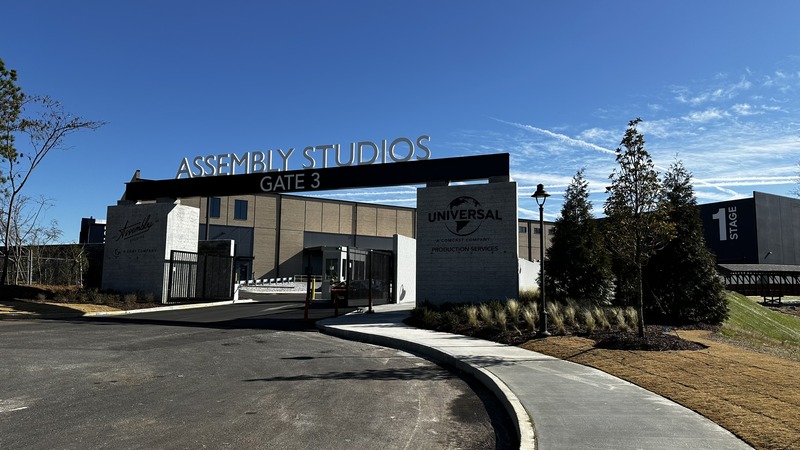
Assembly Atlanta is a new TV/film studio that is on the spot of the old GM plant in Doraville, GA. While I could find that there IS a trail with a nice bridge to cross, I had a hard time finding out how to access the trail. I checked their posts on social, and even put out my own questions, and didn’t get answers. So I went exploring.
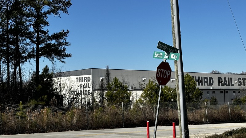
I found one of a very few public parking spots in the area behind the “Blue Lot” of Third Rail Studios. It’s at the corner of Assembly Line Drive and South Rail Way next to a corporate office for a bedding company. This would be at the south end of the trail.
I started my walk by going down South Rail Way, taking a sidewalk painted blue with some bike path insignia that parallels the fence of the Norfolk Southern rail yard. That dead ends so I made a left onto Ruins Way west then on Industry Ave. Finally onto the actual rail trail. It starts off as concrete paved sections with the rail still embedded, and I liked the look.
I walked North toward the corner of Makers Way, paralleling the back of Third Rail Studios, where you pass under a big “Assembly” sign made from some old rail loading equipment. At this spot in the trail it is unfinished. You’re crossing over mud, dirt, rocks, etc. (Note: Photo is looking north).
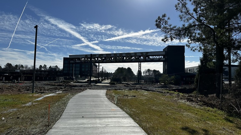
Once pas under the sign and cross the dirt area, you continue northward with the Assembly Atlanta studios on your right. On your left are some industrial facilities, like the collision center on Peachtree Rd. From a walking perspective it’s an easy, flat, concrete surface that takes you across the covered walking bridge and out Gate 3 of Assembly Atlanta. The path / sidewalk dead-ends at Peachtree Rd. There is no parking at the northern terminus of the path, unless you use the lots for one of the supply shops or the music school. It’s not 100% “public” parking so I don’t recommend it unless you have explicit permission.
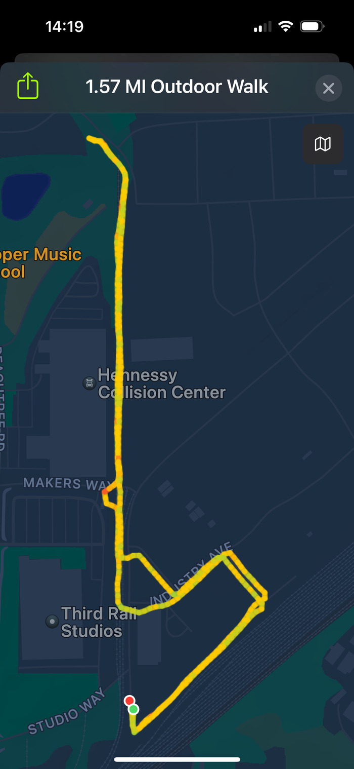
I turned around at the gate and made my way back, roughly along the same path. Round trip was 1.57 miles and 32 minutes according to my fitness tracker, which generated this map.
Plusses and Minuses
From a plus perspective it’s a nice, flat, well cared for walk. Excluding the spot still under construction. It has some urban feels to it while walking near the active tracks and office building, but you get a more rural feel near the bridge. As a plus, you could take a shorter route by avoiding the walk near the active tracks. You can also make it longer by going down the rail trail and coming back on Peachtree Road. That part of Peachtree Road is narrow and without sidewalks. I don’t think I would personally take that option.
In addition to that minus, I felt eyes on me the whole time. There are cameras peeking over the fences at Assembly Atlanta and I never felt I was in a private area. Obviously the fact that it’s unfinished is a minus if you have trouble traveling over loose ground. I also am concerned that parking is very limited. There are maybe 10-15 public spots near the office, but everything else is private parking so it didn’t feel it’s a super accessible trail. Another minus for me is that the whole time you’re walking by the studios you’re up against a high cement fence. I was hoping for a more, “go take a walk and see what’s happening at the studio” kind of attraction.
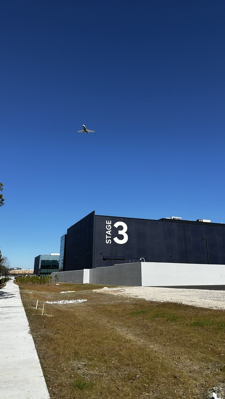
Last minus, it’s a noisy walk. You’ve got trains moving cars in the rail yard. It’s right in the landing path of PDK. Plus, the backside of the Peachtree Road buildings are running generators and air compressors.
My Takeaway
Good for PR to say you built a trail with your new construction. So some kudos to Universal and Gray. Maybe when things are busy at the studio it will be good for the people who work there. I’m sure we’ll see it used in productions. For me, it feels tough to just use if you want to walk in the neighborhood. Maybe if it eventually connects up to the Chamblee Rail Trail and you could park at City Hall it would seem more accessible. I didn’t see any signs of something like that happening.
If you have a different opinion or think I missed something, reach out to me on social media. I’m @N4BFR on X.
